Dosya:Outline Map of Ingushetia.svg

Bu SVG dosyasının PNG önizlemesinin boyutu: 438 × 599 piksel. Diğer çözünürlükler: 175 × 240 piksel | 351 × 480 piksel | 562 × 768 piksel | 749 × 1.024 piksel | 1.498 × 2.048 piksel | 512 × 700 piksel.
Tam çözünürlük (SVG dosyası, sözde 512 × 700 piksel, dosya boyutu: 186 KB)
Bu dosya Wikimedia Commons'ta bulunmaktadır. Dosyanın açıklaması aşağıda gösterilmiştir. Commons, serbest/özgür telifli medya dosyalarının bulundurulduğu depodur. Siz de yardım edebilirsiniz. |
Özet
| Açıklama |
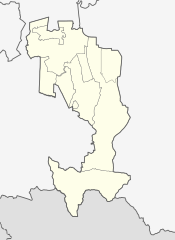
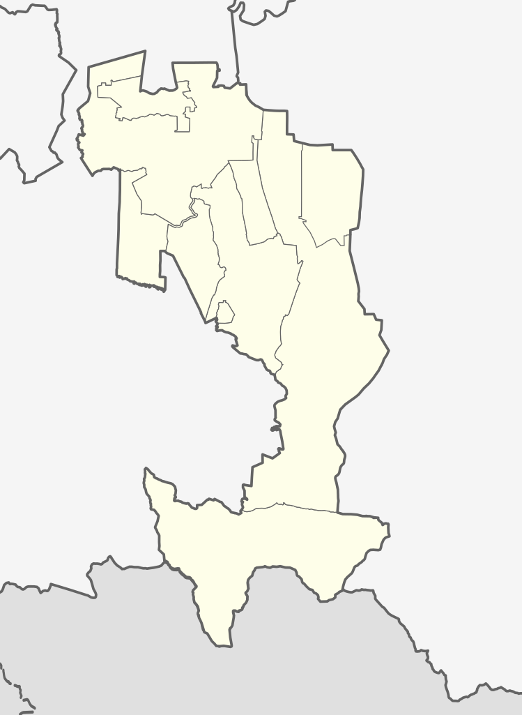
Русский: Позиционная карта Республики Ингушетия
|top = 43.7 |bottom = 42.5 |left = 44.3 |right = 45.5 |
|||||||
| Tarih | ||||||||
| Kaynak |
Yükleyenin kendi çalışması Bu W3C belirsiz vektörel grafik Inkscape ile oluşturuldu .
|
|||||||
| Yazar | ||||||||
| Diğer sürümler |
[]
|
|||||||
| SVG gelişimi | Bu SVG kaynak kodu geçerlidir. Bu vektörel grafik Inkscape ile oluşturuldu, or with something else. |


.svg)

Lisanslama
| Ben, bu işin telif sahibi, bu işi kamu malı olarak yayınlıyorum. Bu dünya çapında geçerlidir. Bazı ülkelerde bu yasal olarak mümkün olmayabilir; öyleyse: Ben, bu işi herhangi bir amaç için, herhangi bir şart olmaksızın, yasalarca gerekli olmadıkça, herkesin kullanmasına izin veriyorum. |
Dosya geçmişi
Dosyanın herhangi bir zamandaki hâli için ilgili tarih/saat kısmına tıklayın.
| Tarih/Saat | Küçük resim | Boyutlar | Kullanıcı | Yorum | |
|---|---|---|---|---|---|
| güncel | 15.41, 29 Haziran 2024 | | 512 × 700 (186 KB) | Aslan Merzho | Reverted to version as of 09:14, 26 June 2024 (UTC) |
| 17.47, 28 Haziran 2024 |  | 512 × 700 (62 KB) | 𝐺ℎ𝑖𝑙𝑔ℎ𝑜 | Reverted to version as of 21:09, 25 June 2024 (UTC) | |
| 09.14, 26 Haziran 2024 |  | 512 × 700 (186 KB) | Flandria12 | Актальная карта, вандализм. Reverted to version as of 20:57, 14 June 2024 (UTC) | |
| 21.09, 25 Haziran 2024 |  | 512 × 700 (62 KB) | 𝐺ℎ𝑖𝑙𝑔ℎ𝑜 | Reverted to version as of 18:15, 5 June 2024 (UTC) | |
| 20.57, 14 Haziran 2024 |  | 512 × 700 (186 KB) | Aslan Merzho | Reverted to version as of 19:58, 24 August 2023 (UTC) | |
| 18.15, 5 Haziran 2024 |  | 512 × 700 (62 KB) | 𝐺ℎ𝑖𝑙𝑔ℎ𝑜 | Reverted to version as of 20:58, 26 March 2023 (UTC) | |
| 19.58, 24 Ağustos 2023 |  | 512 × 700 (186 KB) | Takhirgeran Umar | Reverted to version as of 16:05, 17 March 2023 (UTC) | |
| 20.58, 26 Mart 2023 |  | 512 × 700 (62 KB) | Targimhoï | Reverted to version as of 16:43, 8 September 2010 (UTC) | |
| 16.05, 17 Mart 2023 |  | 512 × 700 (186 KB) | Нох88 | Reverted to version as of 08:02, 11 January 2020 (UTC) | |
| 02.13, 1 Şubat 2023 |  | 512 × 700 (62 KB) | Niyskho | Reverted to version as of 16:43, 8 September 2010 (UTC) |
Dosya kullanımı
Bu görüntü dosyasına bağlantısı olan sayfalar:
Küresel dosya kullanımı
Aşağıdaki diğer vikiler bu dosyayı kullanır:
- af.wikipedia.org üzerinde kullanımı
- ar.wikipedia.org üzerinde kullanımı
- azb.wikipedia.org üzerinde kullanımı
- bg.wikipedia.org üzerinde kullanımı
- ceb.wikipedia.org üzerinde kullanımı
- da.wikipedia.org üzerinde kullanımı
- de.wikipedia.org üzerinde kullanımı
- Magas (Inguschetien)
- Nasran
- Malgobek
- Karabulak (Russland)
- Sunscha (Inguschetien)
- Vorlage:Positionskarte Russland Republik Inguschetien
- Ekaschewo
- Kantyschewo
- Nesterowskaja
- Ali-Jurt
- Benutzer:Amga/Info ISO-3166-2:RU
- Galaschki
- Troizkaja (Inguschetien)
- Plijewo
- Surchachi
- Barsuki (Inguschetien)
- Sagopschi
- Dscheirach
- en.wikipedia.org üzerinde kullanımı
- Magas
- Nazran
- Sagopshi
- Tkhaba-Yerdy Church
- Sunzha
- Malgobek
- Karabulak, Republic of Ingushetia
- Module:Location map/data/Russia Ingushetia/doc
- North Caucasian Federal District
- Galashki
- Nesterovskaya, Republic of Ingushetia
- 2014 Winter Olympics torch relay
- Dzheyrakh
- Tamariani
- Furtoug
- Beyni
- Alby-Yerdy Temple
- Module:Location map/data/Russia Ingushetia
- Oktyabrskoye, Prigorodny District, North Ossetia–Alania
- Troitskaya, Republic of Ingushetia
- Gazi-Yurt
- Tarskoye
- Tyarsh
- Tsori
Bu dosyanın daha fazla küresel kullanımını görüntüle.