Dosya:NYCS map blank.svg

Bu SVG dosyasının PNG önizlemesinin boyutu: 490 × 599 piksel. Diğer çözünürlükler: 196 × 240 piksel | 393 × 480 piksel | 628 × 768 piksel | 838 × 1.024 piksel | 1.676 × 2.048 piksel | 648 × 792 piksel.
Tam çözünürlük (SVG dosyası, sözde 648 × 792 piksel, dosya boyutu: 375 KB)
Bu dosya Wikimedia Commons'ta bulunmaktadır. Dosyanın açıklaması aşağıda gösterilmiştir. Commons, serbest/özgür telifli medya dosyalarının bulundurulduğu depodur. Siz de yardım edebilirsiniz. |
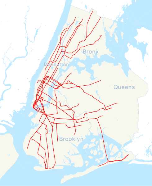
| Açıklama | NYCS_map_blank |
| Kaynak | derived fromt image:NYCS_map_blank.svg |
| Yazar | user:NE2 |

|
Bu belgenin GNU Özgür Belgeleme Lisansı, Sürüm 1.2 veya Özgür Yazılım Vakfı tarafından yayımlanan sonraki herhangi bir sürüm şartları altında bu belgenin kopyalanması, dağıtılması ve/veya değiştirilmesi için izin verilmiştir;
Değişmeyen Bölümler, Ön Kapak Metinleri ve Arka Kapak Metinleri yoktur. Lisansın bir kopyası GNU Özgür Belgeleme Lisansı sayfasında yer almaktadır. |
| Bu dosya, Creative Commons Atıf-Benzer Paylaşım 3.0 Taşınmamış lisansı ile lisanslanmıştır | ||
| ||
| Bu lisanslama etiketi, dosyaya GFDL lisanslama güncelleştirmenin bir parçası olarak eklenmiştir. |
Dosya geçmişi
Dosyanın herhangi bir zamandaki hâli için ilgili tarih/saat kısmına tıklayın.
| Tarih/Saat | Küçük resim | Boyutlar | Kullanıcı | Yorum | |
|---|---|---|---|---|---|
| güncel | 15.35, 24 Kasım 2016 | | 648 × 792 (375 KB) | PrecipiceofDuck | Updated to include 7 line extension |
| 23.17, 19 Haziran 2012 |  | 648 × 792 (324 KB) | Train2104 | Text to path | |
| 20.43, 27 Şubat 2008 |  | 648 × 792 (476 KB) | Michiel1972 | {{Information |Description=NYCS_map_blank |Source=derived from image:NYCS_map_blank.svg |Date= |Author=user:NE2 |Permission= |other_versions= }} category:Maps of the the New York City Metro {{GFDL}} |
Dosya kullanımı
Bu görüntü dosyasına bağlantısı olan sayfalar:
Küresel dosya kullanımı
Aşağıdaki diğer vikiler bu dosyayı kullanır:
- ar.wikipedia.org üzerinde kullanımı
- az.wikipedia.org üzerinde kullanımı
- bn.wikipedia.org üzerinde kullanımı
- ৮৬তম স্ট্রিট স্টেশন (সেকেন্ড অ্যাভিনিউ সাবওয়ে)
- মডিউল:অবস্থান মানচিত্র/উপাত্ত/মার্কিন যুক্তরাষ্ট্র নিউ ইয়র্ক সিটি সাবওয়ে
- মডিউল:অবস্থান মানচিত্র/উপাত্ত/মার্কিন যুক্তরাষ্ট্র নিউ ইয়র্ক সিটি সাবওয়ে/নথি
- ৯৬তম স্ট্রিট স্টেশন (সেকেন্ড অ্যাভিনিউ সাবওয়ে)
- ৫৭তম স্ট্রিট স্টেশন (আইএনডি সিক্সথ অ্যাভিনিউ লাইন)
- রুজভেল্ট আইল্যান্ড স্টেশন
- ৮৬তম স্ট্রিট স্টেশন (বিএমটি ফোর্থ অ্যাভিনিউ লাইন)
- ৯৬তম স্ট্রিট স্টেশন (আইআরটি ব্রডওয়ে–সেভেনথ অ্যাভিনিউ লাইন)
- ceb.wikipedia.org üzerinde kullanımı
- en.wikipedia.org üzerinde kullanımı
- 163rd Street–Amsterdam Avenue station
- Worth Street station
- Spring Street station (IRT Lexington Avenue Line)
- Astor Place station
- 23rd Street station (IRT Lexington Avenue Line)
- 28th Street station (IRT Lexington Avenue Line)
- 18th Street station (IRT Lexington Avenue Line)
- 68th Street–Hunter College station
- 77th Street station (IRT Lexington Avenue Line)
- 86th Street station (IRT Lexington Avenue Line)
- 96th Street station (IRT Lexington Avenue Line)
- 103rd Street station (IRT Lexington Avenue Line)
- 110th Street station (IRT Lexington Avenue Line)
- 116th Street station (IRT Lexington Avenue Line)
- 125th Street station (IRT Lexington Avenue Line)
- Brook Avenue station
- Cypress Avenue station
- East 143rd Street–St. Mary's Street station
- East 149th Street station
- Longwood Avenue station
- Hunts Point Avenue station
- Whitlock Avenue station
- Elder Avenue station
- Morrison Avenue–Soundview station
- St. Lawrence Avenue station
- Parkchester station
- Castle Hill Avenue station
- Zerega Avenue station
- Westchester Square–East Tremont Avenue station
- Middletown Road station
- Buhre Avenue station
- Pelham Bay Park station
- Woodlawn station (IRT Jerome Avenue Line)
- Mosholu Parkway station
- Bedford Park Boulevard–Lehman College station
- Kingsbridge Road station (IRT Jerome Avenue Line)
- Fordham Road station (IRT Jerome Avenue Line)
Bu dosyanın daha fazla küresel kullanımını görüntüle.