Dosya:Map showing Falls Church city, Virginia.png
Daha yüksek çözünürlüğe sahip sürüm bulunmamaktadır.
Map_showing_Falls_Church_city,_Virginia.png ((750 × 485 piksel, dosya boyutu: 35 KB, MIME tipi: image/png))
Bu dosya Wikimedia Commons'ta bulunmaktadır. Dosyanın açıklaması aşağıda gösterilmiştir. Commons, serbest/özgür telifli medya dosyalarının bulundurulduğu depodur. Siz de yardım edebilirsiniz. |
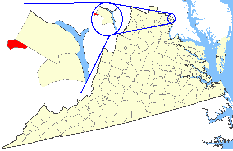
| Açıklama | Maps of counties in Virginia |
| Kaynak | http://nationalatlas.gov/ |
| Yazar | |
| İzin (Bu dosyanın tekrar kullanımı) |
Original work of the US Federal Government - public domain |
This map was obtained from an edition of the National Atlas of the United States. Like almost all works of the U.S. federal government, works from the National Atlas are in the public domain in the United States.
Online access: NationalAtlas.gov | 1970 print edition: Library of Congress, Perry-Castañeda Library
|
Dosya geçmişi
Dosyanın herhangi bir zamandaki hâli için ilgili tarih/saat kısmına tıklayın.
| Tarih/Saat | Küçük resim | Boyutlar | Kullanıcı | Yorum | |
|---|---|---|---|---|---|
| güncel | 01.27, 19 Şubat 2007 | | 750 × 485 (35 KB) | Rfc1394 | {{Information| |Description=Maps of counties in Virginia |Source=http://nationalatlas.gov/ |Date= |Author= |Permission=Original work of the US Federal Government - public domain |other_versions= }} {{PD-USGov}} Category:Virginia maps |
Dosya kullanımı
Bu görüntü dosyasına bağlantısı olan sayfalar:
Küresel dosya kullanımı
Aşağıdaki diğer vikiler bu dosyayı kullanır:
- azb.wikipedia.org üzerinde kullanımı
- en.wikipedia.org üzerinde kullanımı
- fi.wikipedia.org üzerinde kullanımı
- ko.wikipedia.org üzerinde kullanımı
- nl.wikipedia.org üzerinde kullanımı
- no.wikipedia.org üzerinde kullanımı
- zh.wikipedia.org üzerinde kullanımı