Dosya:Britannica French West Africa.png

Bu önizlemenin boyutu: 800 × 587 piksel. Diğer çözünürlükler: 320 × 235 piksel | 640 × 469 piksel | 1.024 × 751 piksel | 1.280 × 939 piksel | 2.560 × 1.878 piksel | 3.272 × 2.400 piksel.
Tam çözünürlük ((3.272 × 2.400 piksel, dosya boyutu: 457 KB, MIME tipi: image/png))
Bu dosya Wikimedia Commons'ta bulunmaktadır. Dosyanın açıklaması aşağıda gösterilmiştir. Commons, serbest/özgür telifli medya dosyalarının bulundurulduğu depodur. Siz de yardım edebilirsiniz. |
Özet
| Açıklama |
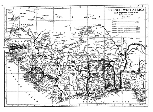
English: Map of French West Africa. |
| Tarih | |
| Kaynak | Encyclopædia Britannica, 11th Edition. |
| Yazar | Hugh Chisholm, editor. |
Lisanslama
| This image comes from the 13th edition of the Encyclopædia Britannica or earlier. The copyrights for that book have expired in the United States because the book was first published in the US with the publication occurring before January 1, 1929. As such, this image is in the public domain in the United States. |  |
Dosya geçmişi
Dosyanın herhangi bir zamandaki hâli için ilgili tarih/saat kısmına tıklayın.
| Tarih/Saat | Küçük resim | Boyutlar | Kullanıcı | Yorum | |
|---|---|---|---|---|---|
| güncel | 15.00, 7 Mart 2011 | | 3.272 × 2.400 (457 KB) | Keith Edkins | Rotated |
| 14.59, 7 Mart 2011 |  | 2.400 × 3.272 (503 KB) | Keith Edkins | =={{int:filedesc}}== {{Information |Description={{en|Map of French West Africa.}} |Source=Encyclopædia Britannica, 11th Edition. |Author=Hugh Chisholm, editor. |Date=1911 |Permission= |other_versions= }} <!--{{ImageUpload|full}}--> = |
Dosya kullanımı
Bu görüntü dosyasına bağlantısı olan sayfalar:
Küresel dosya kullanımı
Aşağıdaki diğer vikiler bu dosyayı kullanır:
- da.wikipedia.org üzerinde kullanımı
- en.wikisource.org üzerinde kullanımı
- fi.wikipedia.org üzerinde kullanımı
- mk.wikipedia.org üzerinde kullanımı
- nl.wikipedia.org üzerinde kullanımı
- uk.wikipedia.org üzerinde kullanımı
- vi.wikipedia.org üzerinde kullanımı
- www.wikidata.org üzerinde kullanımı