Dosya:Bridgend UK location map.svg

Bu SVG dosyasının PNG önizlemesinin boyutu: 603 × 600 piksel. Diğer çözünürlükler: 241 × 240 piksel | 483 × 480 piksel | 772 × 768 piksel | 1.030 × 1.024 piksel | 2.059 × 2.048 piksel | 1.273 × 1.266 piksel.
Tam çözünürlük (SVG dosyası, sözde 1.273 × 1.266 piksel, dosya boyutu: 541 KB)
Bu dosya Wikimedia Commons'ta bulunmaktadır. Dosyanın açıklaması aşağıda gösterilmiştir. Commons, serbest/özgür telifli medya dosyalarının bulundurulduğu depodur. Siz de yardım edebilirsiniz. |
| Açıklama |
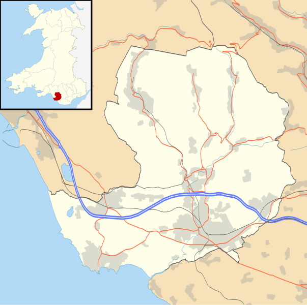
Blank map of Bridgend, UK with the following information shown:
Equirectangular map projection on WGS 84 datum, with N/S stretched 160% Geographic limits:
|
| Tarih | |
| Kaynak |
|
| Yazar | Nilfanion, created using Ordnance Survey data |
| İzin (Bu dosyanın tekrar kullanımı) |
Bu dosya, Creative Commons Atıf-Benzer Paylaşım 3.0 Taşınmamış lisansı ile lisanslanmıştır Atıf: Contains Ordnance Survey data © Crown copyright and database right
|
| Diğer sürümler | File:Bridgend UK map.svg - Blank map |
Dosya geçmişi
Dosyanın herhangi bir zamandaki hâli için ilgili tarih/saat kısmına tıklayın.
| Tarih/Saat | Küçük resim | Boyutlar | Kullanıcı | Yorum | |
|---|---|---|---|---|---|
| güncel | 19.28, 26 Eylül 2010 | | 1.273 × 1.266 (541 KB) | Nilfanion | {{Information |Description=Blank map of Bridgend, UK with the following information shown: *Administrative borders *Coastline, lakes and rivers *Roads and railways *Urban areas Equirectangular map projection on WGS 84 datum, with N/S stret |
Dosya kullanımı
Bu görüntü dosyasına bağlantısı olan sayfalar:
Küresel dosya kullanımı
Aşağıdaki diğer vikiler bu dosyayı kullanır:
- ar.wikipedia.org üzerinde kullanımı
- ceb.wikipedia.org üzerinde kullanımı
- cy.wikipedia.org üzerinde kullanımı
- en.wikipedia.org üzerinde kullanımı
- List of monastic houses in Wales
- Bridgend
- Porthcawl
- Maesteg
- Bridgend County Borough
- Pencoed
- Llangynwyd
- Tondu
- Brackla
- Nottage
- Heol-y-Cyw
- Pyle
- Aberkenfig
- Sarn Park services
- Pontycymer
- Blaengarw
- Coychurch
- Newton, Porthcawl
- Glanrhyd Hospital
- Maesteg Community Hospital
- Princess of Wales Hospital
- Sarn, Bridgend
- Ogmore Vale
- Bettws, Bridgend
- Nant-y-moel
- Cwmfelin
- RAF Stormy Down
- Brynmenyn
- Cefn Cribwr
- Module:Location map/data/Wales Bridgend/doc
- St John the Baptist Church, Porthcawl
- Seabank Hotel
- Kenfig Hill
- Ynysawdre
- Wyndham, Bridgend
- List of Sites of Special Scientific Interest in Bridgend County Borough
- User:Wop48/sandbox
- Coity Higher
- Coity
- Laleston
- St Bride's Minor
- Newcastle Higher
- Coychurch Higher
- Coychurch Lower
- Bridgend (community)
- Llangynwyd Lower
- Llangynwyd Middle
Bu dosyanın daha fazla küresel kullanımını görüntüle.