Dosya:Atlantis map Kampanakis.jpg
Atlantis_map_Kampanakis.jpg ((600 × 359 piksel, dosya boyutu: 27 KB, MIME tipi: image/jpeg))
Bu dosya Wikimedia Commons'ta bulunmaktadır. Dosyanın açıklaması aşağıda gösterilmiştir. Commons, serbest/özgür telifli medya dosyalarının bulundurulduğu depodur. Siz de yardım edebilirsiniz. |
Özet
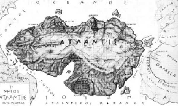
Fictional map of Atlantis by Patroclus Kampanakis. Originally drawn in 1891, first published in his book "The procataclysm Communication of the Two Worlds via Atlantis", Constantinople 1893.
Lisanslama
|
Bu çalışma ABD'de veya yazarın yaşamının sona ermiş olmasından 70 veya daha fazla süre geçtiğinde bu duruma uygun telif yasaları olan tüm ülkelerde kamu malıdır.
| |
| Bu dosya ve ilgili diğer hakları da dahil olmak üzere telif hakkı kapsamında bilinen tüm kısıtlamalar, serbest lisans olarak belirlenmiştir. | |
Dosya geçmişi
Dosyanın herhangi bir zamandaki hâli için ilgili tarih/saat kısmına tıklayın.
| Tarih/Saat | Küçük resim | Boyutlar | Kullanıcı | Yorum | |
|---|---|---|---|---|---|
| güncel | 01.11, 9 Ocak 2006 | | 600 × 359 (27 KB) | Bender235 |
Dosya kullanımı
Bu görüntü dosyasına bağlantısı olan sayfalar:
Küresel dosya kullanımı
Aşağıdaki diğer vikiler bu dosyayı kullanır:
- azb.wikipedia.org üzerinde kullanımı
- az.wikipedia.org üzerinde kullanımı
- fi.wikipedia.org üzerinde kullanımı
- hu.wikipedia.org üzerinde kullanımı
- it.wikipedia.org üzerinde kullanımı
- nl.wikipedia.org üzerinde kullanımı
- nl.wikibooks.org üzerinde kullanımı
- sk.wikipedia.org üzerinde kullanımı
- uk.wikipedia.org üzerinde kullanımı