Dosya:Map of Lorain County Ohio Highlighting Oberlin City.png
Bu önizlemenin boyutu: 294 × 599 piksel. Diğer çözünürlükler: 118 × 240 piksel | 573 × 1.167 piksel.
Tam çözünürlük ((573 × 1.167 piksel, dosya boyutu: 44 KB, MIME tipi: image/png))
Bu dosya Wikimedia Commons'ta bulunmaktadır. Dosyanın açıklaması aşağıda gösterilmiştir. Commons, serbest/özgür telifli medya dosyalarının bulundurulduğu depodur. Siz de yardım edebilirsiniz. |
| Açıklama |
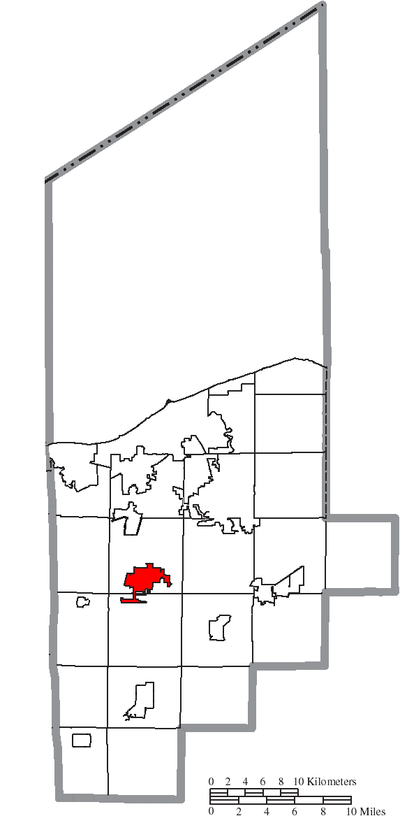
English: Map of the municipal and township boundaries of Lorain County, Ohio, United States, as of the 2000 census, with the location of Oberlin highlighted. Township borders are shown only in unincorporated areas in order to differentiate incorporated and unincorporated areas more clearly. |
||
| Tarih | |||
| Kaynak | File:Map of Lorain County Ohio With Municipal and Township Labels.PNG | ||
| Yazar | Ruhrfisch and Nyttend | ||
| İzin (Bu dosyanın tekrar kullanımı) |
Bu dosya, Creative Commons Atıf-Benzer Paylaşım 3.0 Taşınmamış lisansı ile lisanslanmıştır
|
||
| Diğer sürümler |
|

Dosya geçmişi
Dosyanın herhangi bir zamandaki hâli için ilgili tarih/saat kısmına tıklayın.
| Tarih/Saat | Küçük resim | Boyutlar | Kullanıcı | Yorum | |
|---|---|---|---|---|---|
| güncel | 00.44, 17 Ağustos 2015 | | 573 × 1.167 (44 KB) | Nyttend | {{Information |Description={{en|Map of the municipal and township boundaries of {{w|Lorain County, Ohio|Lorain County}}, {{w|Ohio}}, {{w|United States}}, as of the 2000 census, with the location of {{w|Oberlin, Ohio|Oberlin}} highlighted. Township bor... |
Dosya kullanımı
Bu görüntü dosyasına bağlantısı olan sayfalar:
Küresel dosya kullanımı
Aşağıdaki diğer vikiler bu dosyayı kullanır:
- ro.wikipedia.org üzerinde kullanımı
- zh.wikipedia.org üzerinde kullanımı